


If you’ve got a trip planned to the Alps over Christmas, you might be eying the weather forecast nervously. It might also be worth checking your map, as a stark divide has opened up across Europe, creating a “tale of two winters” right before the Christmas and New Year peak holiday season.
Whether you are chasing powder right now or nervously watching the webcams for your Christmas trip, here is the breakdown of what is happening in the mountains and what it means for the season ahead.
December weather: The “Southern Dump”
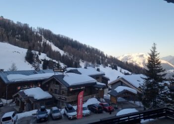
While the Northern Alps are seeing modest dustings, the real action is happening in the South. A low-pressure system is currently hammering the Southern French and Italian Alps.

If you are in, or heading to Isola 2000 (France), Limone Piemonte, or Prato Nevoso (Italy), get your fat skis or powder board ready. Forecasts predict a significant “retour d’est” (return from the east) effect, potentially dropping 50–70cm of fresh snow by mid-week.
Basically, if you can book a last-minute trip for this week, go South. The powder is deep, and the crowds are thin as it’s still pre-Christmas.
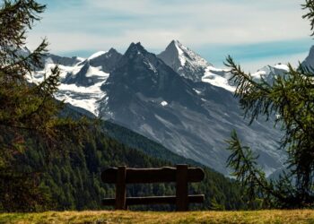
Christmas week: Sunny and mild
If we’re looking ahead to the holiday week in the Alps (starting Dec 22), it’s not looking too promising for the snow. A high-pressure ridge is building over Central Europe, effectively blocking Atlantic storms – basically meaning little in the way of powder. However…
- The Good News: You can expect glorious bluebird days for Christmas. Visibility will be perfect for family skiing and long lunches on the terrace.
- The Bad News: The “anticyclonic gloom” brings milder temperatures. Fresh powder will be scarce. Pistes will be firm and fast in the morning but may soften into spring-like slush on lower, south-facing slopes by the afternoon.
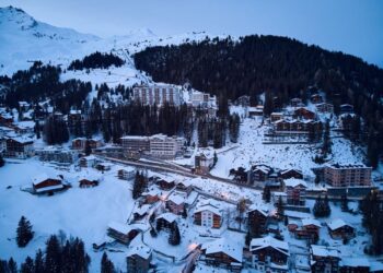
If you’re already booked for Christmas week through to New Year, then altitude is your friend here. If you’re booked to the big high altitude resorts you should be fine. If you’re looking at a last minute booking, aim for resorts with skiing above 2,000m (think Val Thorens, Cervinia, or Obergurgl) to ensure wintery snow conditions.
Glacier ski resorts are also a good idea, so look to places like Hintertux, Stubai and Solden, Zermatt, Saas Fee and Les Deux Alpes.
What are the conditions in Eastern Europe and the Balkans?
While the Southern Alps are battling storms, Eastern Europe is experiencing a classic, high-pressure start to the season: blue skies, cold nights, and a heavy reliance on artificial snow.
Most major resorts have officially opened, including Bansko, but cover is thin.
- Slovakia: Jasna is currently the region’s best bet, with nearly 50% of its terrain open and a solid base on the upper mountain.
- Bulgaria: Bansko and Borovets are open, but relying entirely on snow cannons for the lower home runs. The upper slopes (Plato/Markudzhik) have decent natural cover (50–80cm), but off-piste riding is strictly off-limits due to low tide conditions.
The high-pressure ridge blocking storms in the north extends over the Balkans, promising a dry and sunny Christmas. Not ideal for skiing, but you will at least be able to get some turns in – but no Ski Road in Bansko yet…
But if you’ve got a trip to Bulgaria or Eastern Europe booked in the new year, don’t panic about the slow start; this is typical for the region. Meteorologists are watching for a potential Polar Vortex split in January. If this occurs, it often funnels freezing Siberian air straight into the Balkans (the famous “Beast from the East”), which could turn a dry December into a buried January and February.
Go now for the party and the sun; keep an eye on the weather into January for the deep snow.
Check out our Bansko ski resort review.
What does the season look like for 2025/26?
While it’s not a total washout yet, it is definitely volatile. We are currently in a “weak La Niña” phase, which typically creates a push-and-pull battle in the atmosphere.
- Early Season: We are seeing the classic La Niña blocking patterns (hence the sunny Christmas forecast).
- Mid-Season Hope: Meteorologists are watching the Polar Vortex closely. There are strong signals of instability. If the vortex weakens or splits in January, it could unlock the “freezer door,” sending Arctic air and heavy storms plunging south into the Alps for the latter half of the season.
TL;DR: The winter summary so far
- The Powder Hunter: Go to the Southern Alps now.
- The Christmas Family: Enjoy the sun, but stick to the high-altitude hubs.
- The Late Booker: Hold your nerve. January and February show strong potential for a return to deep winter conditions.
See you on the slopes!
Have you signed up for our newsletter? We share guides, tips, weather updates and more throughout the winter season…